
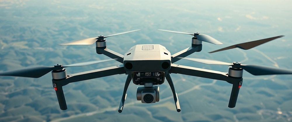

In the rapidly evolving landscape of technology, the potential for drone surveys powered by AI and LiDAR is transforming industries like never before. At Aeroyantra Technologies Private Limited, we are at the forefront of this revolution, harnessing innovation to deliver exceptional solutions that redefine what's possible in surveying. The future of drone survey technology is not just about aerial imagery; it encompasses a convergence of advanced technologies that promise to significantly enhance efficiency, accuracy, and safety in data collection.
The Rise of Drone Surveying
Drone surveying has been a game-changer in how we perceive and interact with geographic data. Traditionally tied to labor-intensive and time-consuming ground surveys, the advent of drones has streamlined this process, allowing for rapid data acquisition with minimal human intervention. The focus on drone surveys has surged, particularly with the integration of AI and LiDAR technology, setting the stage for transformative advancements across various sectors, from agriculture to construction.
What is LiDAR?
LiDAR (Light Detection and Ranging) is a remote sensing technology that uses light in the form of a pulsed laser to measure distances to the Earth. The data collected helps create precise, three-dimensional maps of the survey area. When integrated with drones, LiDAR systems allow for extensive area coverage with high levels of detail. This technology tremendously increases the accuracy and speed of surveys, facilitating informed decision-making in real-time.
The Role of AI in Drone Surveys
Artificial Intelligence is pivotal in processing data collected from drone surveys. With machine learning algorithms and computer vision, AI analyzes vast amounts of data to detect patterns, classify information, and even predict outcomes. AI enhances efficiency by reducing the time needed for data processing and interpretation, allowing businesses to derive actionable insights from their drone survey data almost instantaneously.
Key Trends in Drone Survey Technology
Integration of AI and Machine Learning: The fusion of AI with drone surveys facilitates automated data analysis. With continuous learning capabilities, these systems can evolve, improving their predictive power and analytical precision with every flight.
Enhanced Mapping Capabilities: With LiDAR technology, drones can create detailed topographical maps and models, vital for industries requiring geographic insights. Enhanced mapping capabilities directly translate into better planning and development processes across sectors such as urban planning, forestry, and environmental monitoring.
Real-Time Data Collection: The integration of advanced communication technologies, such as 5G, allows drones to send data in real-time, greatly improving the decision-making process in critical situations such as natural disaster assessments.
Cost-Effectiveness: Drone surveys reduce the need for extensive equipment and manpower, making it a more cost-effective solution compared to traditional surveying methods. The reduced time spent on-site translates into savings, enabling companies to allocate resources more effectively.
Safety Improvements: By minimizing the need for human presence in hazardous areas, drone surveys enhance safety. Drones can access challenging terrains, monitor sites prone to natural disasters, and perform inspections without putting personnel at risk.
The Future is Here: Aeroyantra Technologies' Vision
At Aeroyantra Technologies Private Limited, we are dedicated to leading the charge in this drone survey revolution. Our solutions combine state-of-the-art drone technology, AI capabilities, and precision LiDAR systems to transform how surveys are conducted across various industries. Our commitment to quality and innovation ensures that clients receive the most accurate and reliable data.
By leveraging these advanced technologies, we are not only enhancing the efficiency of data acquisition but also empowering businesses to make informed and strategic decisions. Whether it’s mapping a new construction site, monitoring forest health, or conducting archaeological studies, our drone survey solutions deliver unparalleled results.
Conclusion
The future of drone surveying is bright, with AI, LiDAR, and autonomous mapping poised to change the industry landscape. As these technologies continue to evolve, so will the possibilities for businesses seeking efficient, safe, and cost-effective surveying solutions. Aeroyantra Technologies Private Limited remains committed to providing cutting-edge innovations that adapt to the needs of our clients, driving businesses forward into a new era of data intelligence.
FAQs
Q1: What is a drone survey?
A1: A drone survey is a method of collecting data and imagery from above the ground using unmanned aerial vehicles (drones). This technology allows for fast and efficient mapping and data collection across various industries.
Q2: How does LiDAR enhance drone surveys?
A2: LiDAR technology enhances drone surveys by providing precise measurements and creating detailed 3D models of the surveyed area. This results in greater accuracy in data collection, which is crucial for industries like construction and environmental monitoring.
Q3: What role does AI play in analyzing drone survey data?
A3: AI helps in processing and analyzing the large sets of data collected by drones. It can detect patterns and anomalies, classify data, and even predict future outcomes, making the information more actionable for businesses.
Q4: How much does a drone survey typically cost?
A4: The cost of a drone survey can vary greatly depending on the size of the area being surveyed, the technology used (e.g., LiDAR vs. standard aerial imagery), and the level of detail required. However, drone surveys are generally more cost-effective than traditional methods due to reduced labor and time spent on-site.
Q5: Are drone surveys safe?
A5: Yes, drone surveys enhance safety by minimizing the need for personnel in hazardous environments. Drones can collect data in risky or hard-to-reach locations without putting workers at risk.
With the continued advancement of technology in this field, the importance and application of drone surveys will only expand, making it an exciting time for industries looking to innovate and improve their operations. Aeroyantra Technologies Private Limited is proud to be at the forefront of this change, delivering solutions that help you see beyond the horizon.







Top comments (0)